
Products
By Team
Sales
Multithread effectively and personalize outreach to convert deals faster
Social Media Marketing
Elevate social presence and drive business growth from social media
RevOps
Identify and prioritize high-intent leads, and improve sales effectiveness
Events & Field Marketing
Find and connect with ICP attendees, and improve event outcomes


Resources
.png)
.png)
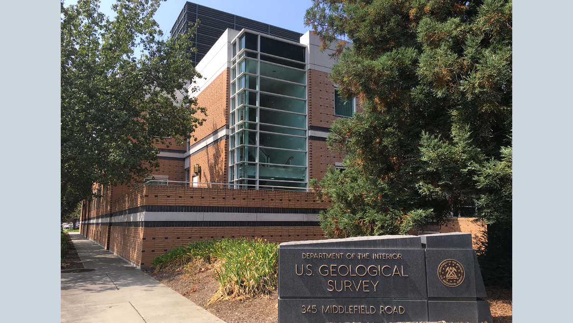
US Geological Survey
What Does US Geological Survey Do?
The U.S. Geological Survey (USGS) is a science agency of the United States federal government. As the nation's largest water, earth, and biological science and civilian mapping agency, the USGS collects, monitors, analyzes, and provides scientific understanding about natural resource conditions, issues, and problems. Its mission is to serve the Nation by providing reliable scientific information to describe and understand the Earth; minimize loss of life and property from natural disasters; manage water, biological, energy, and mineral resources; and enhance and protect our quality of life.

Where Is US Geological Survey's Headquarters?


HQ Function
Serves as the primary administrative and leadership center, coordinating national research programs, data dissemination strategies, policy implementation, and overall agency operations.
Notable Features:
The John Wesley Powell Federal Building, named after the agency's second director and famed explorer, is a significant federal facility. It houses administrative offices, some research laboratories, extensive data centers, and the USGS Library, one of the world's largest earth science libraries.
Work Culture:
The work culture at the USGS headquarters is characterized by a strong commitment to scientific integrity, objectivity, and public service. It fosters a collaborative environment among scientists, technicians, and support staff dedicated to rigorous research and the dissemination of impartial scientific information.
HQ Significance:
The Reston headquarters is central to the USGS's mission of providing unbiased scientific information to inform decision-making by policymakers, emergency responders, resource managers, and the public on critical national and global issues.
Values Reflected in HQ: The headquarters reflects the core values of the USGS: scientific excellence, objectivity, public trust, national service, and a profound commitment to understanding and protecting the Earth's resources and environment for future generations.
Location:
While primarily focused on the United States, the USGS has a significant global presence through international collaborations, data sharing initiatives, and capacity-building programs with geological surveys and scientific organizations worldwide. The agency operates and contributes to global monitoring networks for earthquakes (e.g., Global Seismographic Network), volcanoes, and magnetic fields. USGS scientists also conduct research in various international locations, often in partnership with host nations, and provide scientific expertise for international disaster response, resource assessment, and environmental monitoring efforts.
Street Address:
12201 Sunrise Valley Dr
City:
Reston
State/Province:
Virginia
Country:
USA
Where Else Does US Geological Survey Operate Around the World?
Denver, Colorado/USA
Address: Denver Federal Center, Bldg. 810, Kipling St & Alameda Ave, Denver, CO 80225
Serves as a critical research and operational center for addressing geological, hydrological, and environmental issues pertinent to the Rocky Mountain region and the broader Western U.S., including earthquake monitoring, water availability studies, and critical mineral assessments.
Sacramento, California/USA
Address: Placer Hall, 6000 J Street, Sacramento, CA 95819
Essential for understanding and managing California's complex and often stressed water systems. The center supports state and local agencies in addressing challenges such as drought, flood risks, groundwater depletion, and sustainable water management.
Vancouver, Washington/USA
Address: 1300 SE Cardinal Ct #100, Vancouver, WA 98683
Provides critical early warnings, hazard assessments, research, and communication to mitigate risks from volcanic activity in the Pacific Northwest, helping to protect communities, infrastructure, and natural resources.
Woods Hole, Massachusetts/USA
Address: 384 Woods Hole Rd, Woods Hole, MA 02543
Conducts research vital for understanding coastal erosion, sea-level rise impacts, offshore energy resources, and marine habitat health along the U.S. Atlantic coast, supporting coastal resilience and management.
Buying Intent Signals for US Geological Survey
Highperformr Signals uncover buying intent and give you clear insights to target the right accounts at the right time — helping your sales, marketing, and GTM teams close more deals, faster.
Who's Leading US Geological Survey? Meet the Executive Team
As of April 2025, US Geological Survey' leadership includes:
Who's Investing in US Geological Survey?
US Geological Survey has been backed by several prominent investors over the years, including:
What Leadership Changes Has US Geological Survey Seen Recently?
Executive leadership at the USGS, a federal agency, involves appointments and transitions managed through established governmental processes. Over the past year, the agency has focused on strengthening its leadership in key administrative and policy areas while maintaining continuity in its core scientific direction. Notable appointments aim to enhance operational effectiveness and strategic policy integration.
New Appointments:
What Technology (Tech Stack) Is Used byUS Geological Survey?
Discover the tools US Geological Survey uses. Highperformr reveals the technologies powering your target accounts — helping your sales, marketing, and GTM teams prioritize smarter and close faster.

US Geological Survey Email Formats and Examples
The U.S. Geological Survey, as a U.S. federal government agency, typically uses standardized email formats for its employees. The most common formats include a combination of the employee's first name, last name, or initials at the official usgs.gov domain. These formats ensure consistent and professional communication.
[first_initial][last]@usgs.gov or [first].[last]@usgs.gov or [username]@usgs.gov
Format
jdoe@usgs.gov or john.doe@usgs.gov
Example
90%
Success rate
What's the Latest News About US Geological Survey?
USGS.gov Newsroom • April 23, 2024
USGS Study Reveals Billions of Gallons of Groundwater Flow Daily from U.S. Coasts into Atlantic Ocean and Gulf of Mexico
A new comprehensive study by the USGS has quantified that billions of gallons of groundwater flow from the U.S. Atlantic and Gulf coasts into the ocean daily. This research highlights the significant role of submarine groundwater discharge in coastal ecosystems, nutrient transport, and the overall hydrology of coastal zones....more
USGS.gov Newsroom • March 7, 2024
USGS Releases New National Maps of Landslide Types
The U.S. Geological Survey has released a new suite of national-scale maps that detail various types of landslides across the United States. These maps aim to improve the understanding of landslide hazards, identify vulnerable areas, and support mitigation and land-use planning efforts at national, state, and local levels....more
USGS.gov Newsroom • February 15, 2024
USGS and Partners Launch Next Generation Water Observing System in the Upper Colorado River Basin
The USGS, in collaboration with various partners, has launched the Next Generation Water Observing System (NGWOS) in the Upper Colorado River Basin. This initiative will deploy advanced monitoring technologies to provide high-fidelity, real-time data on water quantity, quality, and use, aiming to improve water resource management in this critical basin....more
Highperformr's free tools for company research
Explore Employees by Region or Country
See where a company’s workforce is located, by country or region.
View Funding Details
View past and recent funding rounds with amounts and investors.
Understand Revenue Insights
Understand company revenue estimates and financial scale.
Track Active Job Openings
Track active roles and hiring trends to spot growth signals.
Review Product and Offerings
Discover what a company offers—products, platforms, and solutions.
Get SIC or NAICS Codes
Get the company’s official SIC and NAICS classifications.
Analyze Website Traffic Trends
Analyze visitor volume, engagement, and top traffic sources.
Discover Social Profiles and Engagement
Explore LinkedIn, Twitter, and other active social profiles.
Identify Top Competitors
Identify top competitors based on similar business traits.
Research and Discover Companies with Highperformr — Smarter, Faster
Explore companies in depth — from the tech they use to recent funding, hiring trends, and buyer signals — all in one powerful view.
Highperformr AI helps you surface the right accounts and enrich your CRM with verified company and contact insights, so your teams can prioritize and engage faster.
- Track intent signals to find buyers who are actively in-market
- Enrich contacts and companies instantly, no need to switch tools
- Automate workflows to stay ahead of every change
- Connect your CRM & tools for seamless data sync and activation


Thousands of companies, including US Geological Survey, are just a search away.